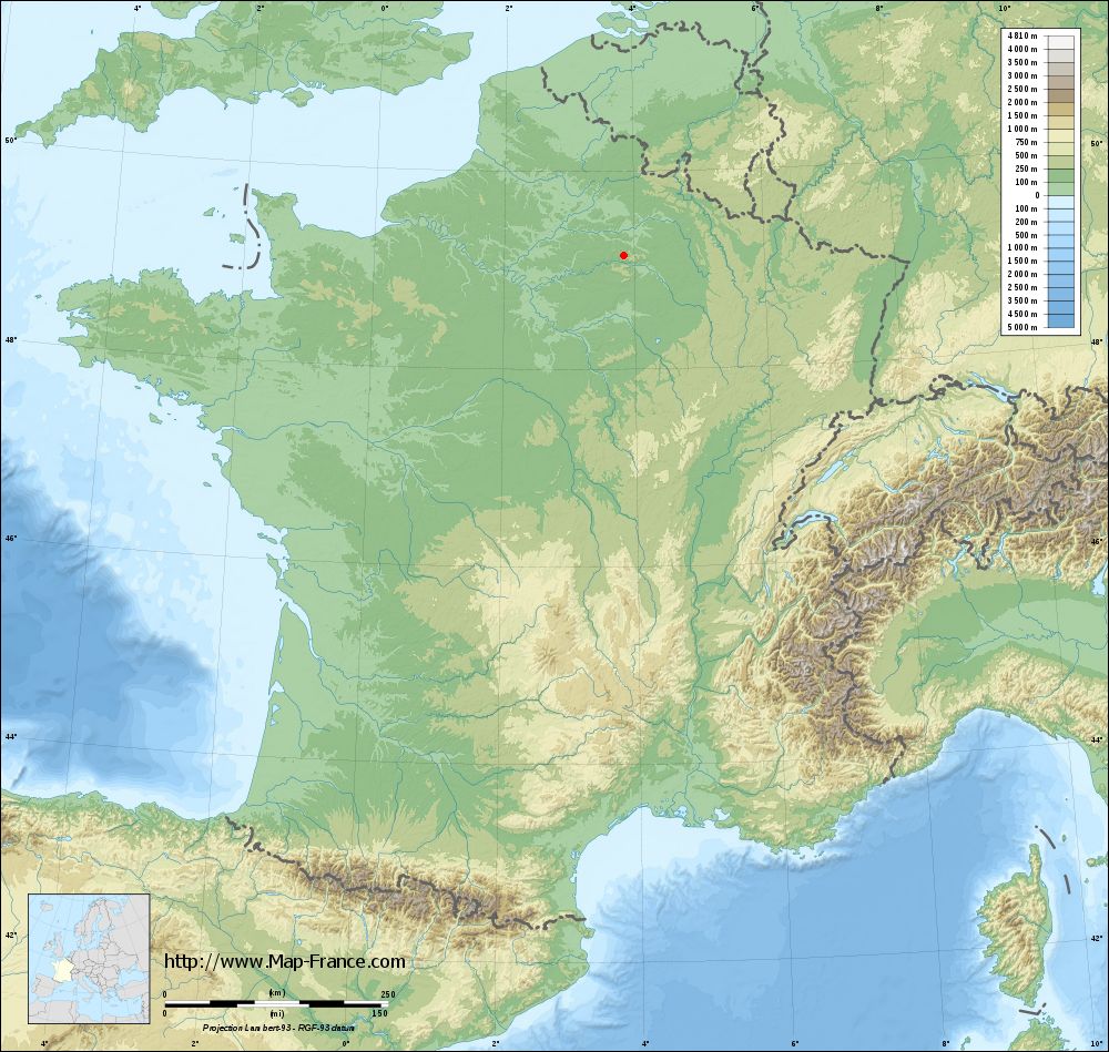
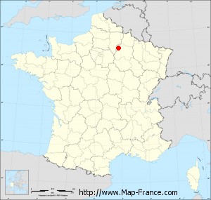
La Neuville-aux-Larris on the relief France map in Lambert 93 coordinates
|
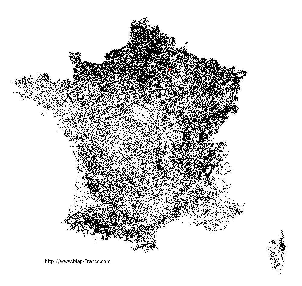
See the map of La Neuville-aux-Larris in full screen (1000 x 949)
|
At left, here is the location of La Neuville-aux-Larris on the relief France map in Lambert 93 coordinates.
Here are the altitudes of La Neuville-aux-Larris :
- Town hall altitude of La Neuville-aux-Larris is 245 meters
- Minimum altitude of La Neuville-aux-Larris is 200 meters
- Maximum altitude of La Neuville-aux-Larris is 246 meters
- Medium altitude of La Neuville-aux-Larris is 223 meters
Here are the altitudes of Châlons-en-Champagne, prefecture of Marne department:
- Town hall altitude of Châlons-en-Champagne is 85 meters
- Minimum altitude of Châlons-en-Champagne is 79 meters
- Maximum altitude of Châlons-en-Champagne is 153 meters
- Medium altitude of Châlons-en-Champagne is 116 meters
Here are the altitudes of the french biggest cities:
Paris : 33 meters
Marseille : 20 meters
Lyon : 237 meters
Toulouse : 146 meters
Nice : 10 meters
Nantes : 20 meters
Strasbourg : 144 meters
Montpellier : 35 meters
Bordeaux : 16 meters
Lille : 20 meters
Rennes : 35 meters
Reims : 83 meters
Click here for the terrain map of La Neuville-aux-Larris in full screen:
Relief map of La Neuville-aux-Larris
|
This relief map of La Neuville-aux-Larris is reusable and modifiable by making a link to this page of the Map-France.com website or by using the given code :
|
Terrain base map of La Neuville-aux-Larris
|
See the terrain base map of La Neuville-aux-Larris in full screen (1000 x 949)
|
Small relief base map of La Neuville-aux-Larris

|
This base map of La Neuville-aux-Larris is reusable and modifiable by making a link to this page of the Map-France.com website or by using the given code :
|
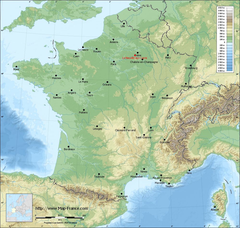
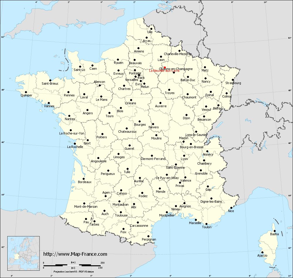
Map of La Neuville-aux-Larris with regions and prefectures
|
View the map of La Neuville-aux-Larris in full screen (1000 x 949)
|
You will find the location of La Neuville-aux-Larris on the map of France of regions in Lambert 93 coordinates. The town of La Neuville-aux-Larris is located in the department of Marne of the french region Champagne-Ardenne.
Geographical sexagesimal coordinates / GPS (WGS84):
Latitude: 49° 08' 35'' North
Longitude: 03° 50' 32'' East
Geographical decimal coordinates :
Latitude: 49.143 degrees (49.143° North)
Longitude: 3.842 degrees (3.842° East)
Lambert 93 coordinates :
X: 7 615 hectometers
Y: 68 940 hectometers
Lambert 2 coordinates :
X: 7 099 hectometers
Y: 24 616 hectometers
Below, the geographical coordinates of Châlons-en-Champagne, prefecture of the Marne department:
Geographical sexagesimal coordinates / GPS (WGS84):
Latitude: 48° 57' 24'' North
Longitude: 04° 21' 52'' East
Geographical decimal coordinates :
Latitude: 48.957 degrees (48.957° North)
Longitude: 4.362 degrees (4.362° East)
Lambert 93 coordinates :
X: 7 999 hectometers
Y: 68 738 hectometers
Lambert 2 coordinates :
X: 7 486 hectometers
Y: 24 417 hectometers
|
This map of La Neuville-aux-Larris is reusable and modifiable by making a link to this page of the Map-France.com website or by using the given code :
|
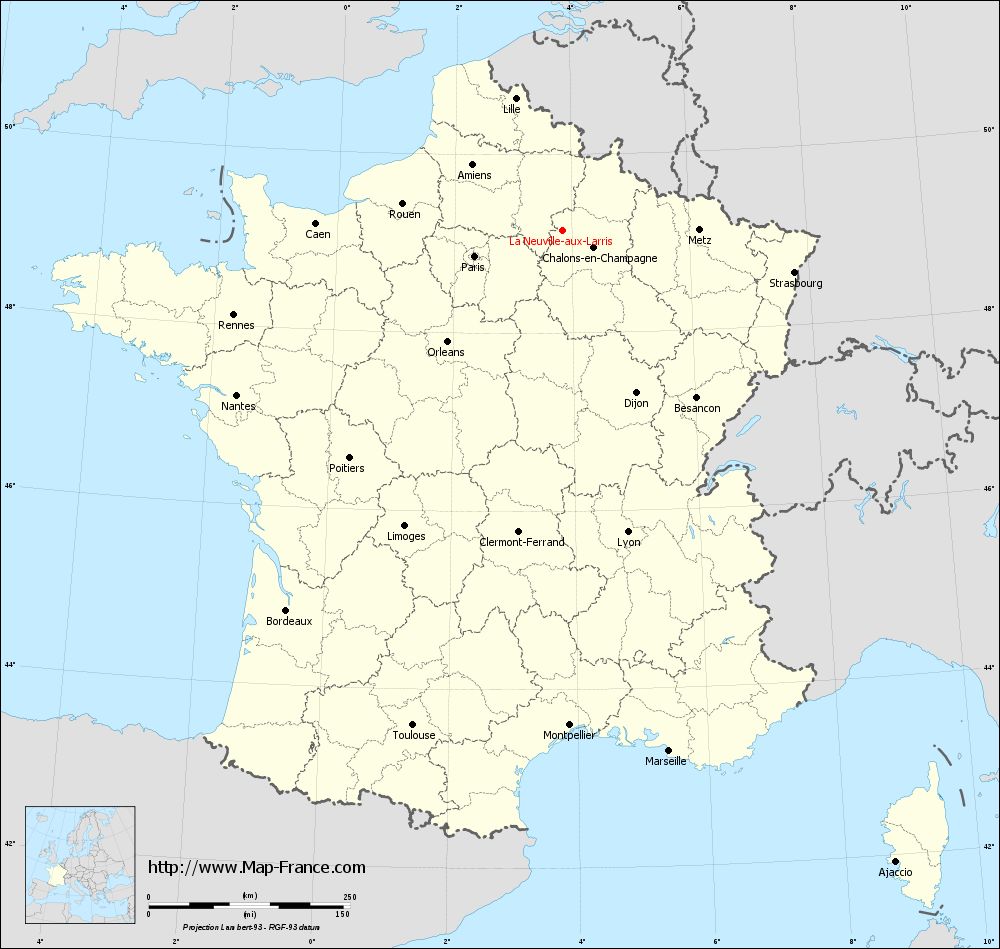
Map of La Neuville-aux-Larris with departments and prefectures
|
Voir la carte of La Neuville-aux-Larris en grand format (1000 x 949)
|
Here is the localization of La Neuville-aux-Larris on the France map of departments in Lambert 93 coordinates. The city of La Neuville-aux-Larris is shown on the map by a red point.
The town of La Neuville-aux-Larris is located in the department of Marne of the french region Champagne-Ardenne.
The latitude of La Neuville-aux-Larris is 49.143 degrees North.
The longitude of La Neuville-aux-Larris is 3.842 degrees East.
Here the distance between La Neuville-aux-Larris and the biggest cities of France:
Distances are calculated as the crow flies (orthodromic distance)
Distance between La Neuville-aux-Larris and Paris : 113.49 kilometers
Distance between La Neuville-aux-Larris and Marseille : 660.38 kilometers
Distance between La Neuville-aux-Larris and Lyon : 383.22 kilometers
Distance between La Neuville-aux-Larris and Toulouse : 642.5 kilometers
Distance between La Neuville-aux-Larris and Nice : 658.25 kilometers
Distance between La Neuville-aux-Larris and Nantes : 453.17 kilometers
Distance between La Neuville-aux-Larris and Strasbourg : 292.67 kilometers
Distance between La Neuville-aux-Larris and Montpellier : 614.89 kilometers
Distance between La Neuville-aux-Larris and Bordeaux : 583.14 kilometers
Distance between La Neuville-aux-Larris and Lille : 174.59 kilometers
Distance between La Neuville-aux-Larris and Rennes : 421.45 kilometers
Distance between La Neuville-aux-Larris and Reims : 18.75 kilometers
Clic here to see the map of La Neuville-aux-Larris in full screen:
La Neuville-aux-Larris on the map of french departments
|
This administrative map of La Neuville-aux-Larris is reusable and modifiable by making a link to this page of the Map-France.com website or by using the given code :
|
Administrative base maps of La Neuville-aux-Larris
|

See the administrative base map of La Neuville-aux-Larris in full screen (1000 x 949)
|
Small administrative base map of La Neuville-aux-Larris
|
This base map administrative of La Neuville-aux-Larris is reusable and modifiable by making a link to this page of the Map-France.com website or by using the given code :
|
 French Version : http://www.cartesfrance.fr